


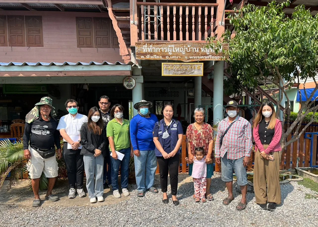
เจ้าหน้าที่ศูนย์ข้อมูลเกษตรแห่งชาติลงพื้นที่เพื่อจัดเก็บข้อมูลจากเกษตรกรที่ได้รับผลกระทบในพื้นที่เกิดภัยพิบัติ กรณีน้ำท่วมซ้ำซาก
เจ้าหน้าที่ศูนย์ข้อมูลเกษตรแห่งชาติลงพื้นที่เพื่อจัดเก็บข้อมูลจากเกษตรกรที่ได้รับผลกระทบในพื้นที่เกิดภัยพิบัติ
(กรณีน้ำท่วมซ้ำซาก) รวมทั้งสอบถามเรื่องการตระหนักรู้เกี่ยวกับข้อมูลขนาดใหญ่ (Big
data) ด้านการเกษตร ระหว่างวันที่ 27
กุมภาพันธ์ – 3 มีนาคม 2566
ในพื้นที่ ตำบลทองเอน อำเภออินทร์บุรี จังหวัดสิงห์บุรี, ตำบลไผ่ดำพัฒนา
อำเภอวิเศษชัยชาญ จังหวัดอ่างทอง, ตำบลวัดโบสถ์ อำเภอบางปลาม้า
จังหวัดสุพรรณบุรี, ตำบลหัวเวียง และตำบลกบเจา อำเภอเสนา จังหวัดพระนครศรีอยุธยา
โดยเกษตรกรได้รับผลกระทบทั้งในพื้นที่เกษตรและที่อยู่อาศัย เนื่องจากเป็นพื้นที่ราบลุ่มและอยู่ใกล้กับแม่น้ำ รวมทั้งมีการปล่อยน้ำจากเขื่อนเจ้าพระยา จึงทำให้เกิดน้ำท่วมเป็นประจำในช่วงเดือนสิงหาคมถึงธันวาคมตลอดทุกปี ทำให้เกษตรกรในพื้นที่ทำประมง และพืชสวน เกิดความเสียหายเกือบทั้งหมด สำหรับพื้นที่ทำนาเกษตรกรมีการวางแผนเลื่อนระยะเวลาการเพาะปลูกให้เร็วขึ้น โดยเก็บเกี่ยวก่อนวันที่ 15 กันยายน เพื่อบรรเทาผลกระทบจากน้ำท่วมพื้นที่ ซึ่งเกษตรกรได้มีการรับรู้การเข้าใจถึงข้อมูลขนาดใหญ่ ผ่านช่องทางบุคลากรของภาครัฐ ผู้ใหญ่บ้านและเจ้าหน้าที่เกษตรฯ เป็นหลัก จึงทำให้สามารถเข้าถึงองค์ความรู้ ข่าวสารที่สามารถช่วยให้สามารถเตรียมพร้อมรับมือกับภัยพิบัติได้ และมีการร่วมมือกับของผู้ใหญ่บ้านและกรมชลประทานในพื้นที่ประสานงานและสื่อสารข้อมูลเรื่องปริมาณน้ำกันอย่างสม่ำเสมอ ทำให้เกษตรกรที่ทำนาสามารถวางแผนระยะเวลาในการเพาะปลูกเพื่อให้สามารถเก็บเกี่ยวได้ทันก่อนจะเกิดน้ำท่วม ส่วนเกษตรกรชาวสวนที่ยังอยู่ในช่วงเพาะปลูกและช่วงเก็บเกี่ยวเกิดความเสียหายทั้งหมดอย่างเลี่ยงไม่ได้
ทั้งนี้การเก็บข้อมูลได้รับความร่วมมือจากเจ้าหน้าที่บุคลากรภาครัฐ อาทิ เจ้าหน้าที่กรมส่งเสริมการเกษตร เจ้าหน้าที่สำนักงานเกษตรอำเภอ และคณะกรรมการผู้ใหญ่บ้านในพื้นที่ในการประสานนัดหมายเกษตรกรผู้ประสบภัยน้ำท่วมในพื้นที่การเกษตร
"National Agricultural Big Data Center staff deployed to the affected area to collect data from farmers impacted by severe flooding."
National Agricultural Big Data Center staff were deployed to the affected areas to collect data from farmers impacted by natural disasters (in the case of severe flooding), as well as to inquire about knowledge related to big data in agriculture. The activity took place between February 27th - March 3rd, 2023 in the following areas: Tambon Thong En, Amphoe Inburi, Singburi Province; Tambon Pai Dam Phatthana, Amphoe Wiset Chai Chan, Ang Thong Province; Tambon Wat Bot, Amphoe Bang Pla Ma, Suphan Buri Province; Tambon Hua Wiang and Tambon Khab Chao, Amphoe Senna, Ayutthaya Province.
Farmers have been affected both in agricultural areas and residential areas, as it is a flat area and close to the river. In addition, water is released from the Chao Phraya Dam, causing regular flooding from August to December every year. This causes almost all farmers in the area who grow fish and fruit trees to suffer damage. For farmers who grow rice, they have planned to advance their planting time and harvest before September 15 to alleviate the impact of flooding in the area. Farmers have been able to access large amounts of information through government personnel, village leaders, and agricultural officials, allowing them to access knowledge and news that can help them prepare for disasters. They have cooperated with village elders and the Department of Irrigation to coordinate and communicate water volume information regularly. This enables rice farmers to plan their planting and harvesting times to ensure that they can harvest before flooding occurs. However, fruit farmers who are still in the planting and harvesting stages suffer damage that cannot be avoided.
This has been accomplished through the cooperation of state officials, such as officials from the Department of Agriculture, district agricultural office officials, and village headmen in the area, in coordinating appointments with farmers affected by flooding in agricultural areas.
